


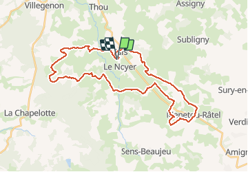

45 km | 55 km-effort

User


FREE GPS app for hiking
 SityTrail
IGN / Geographical institutes
SityTrail World
The world is yours!
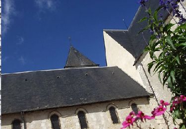
Trail Running of 37 km to be discovered at Centre-Loire Valley, Cher, Le Noyer. This trail is proposed by levequejef.


Mountain bike
Walking

Bicycle tourism

Walking
Walking
Walking
Walking
Cycle
Walking